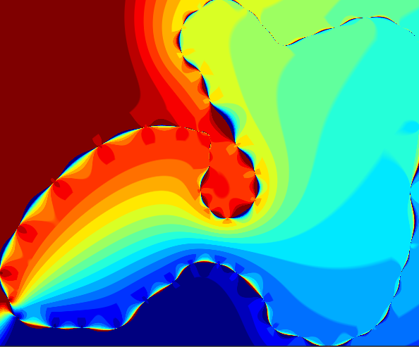
Geodesic segmentization via PROJ.
GeometryOps.segmentize Function
segmentize([method = Planar()], geom; max_distance::Real, threaded)Segmentize a geometry by adding extra vertices to the geometry so that no segment is longer than a given distance. This is useful for plotting geometries with a limited number of vertices, or for ensuring that a geometry is not too "coarse" for a given application.
Arguments
method::Manifold = Planar(): The method to use for segmentizing the geometry. At the moment,Planar(assumes a flat plane),Spherical(assumes geometry on a sphere and interpolates along great circles) andGeodesic(assumes geometry on the ellipsoidal Earth and uses Vincenty's formulae) are available.geom: The geometry to segmentize. Must be aLineString,LinearRing,Polygon,MultiPolygon, orGeometryCollection, or some vector or table of those.max_distance::Real: The maximum distance between vertices in the geometry. ForPlanarmanifolds, this is in the units of the geometry. ForSphericalandGeodesic, this is in the units of the manifold (the units of the radius of the sphere/ellipsoid). By default this is meters.
Spherical and Geodesic both assume that the input geometry is in lon/lat coordinates, in degrees.
Returns a geometry of similar type to the input geometry, but resampled.
sourceImplementation
The implementation uses PROJ's geodesic calculations to:
Compute the geodesic distance between points
Calculate intermediate points along the great circle path
Add points at regular intervals based on the maximum distance parameter
Key features:
Uses PROJ's geod_geodesic for accurate ellipsoidal calculations
Configurable equatorial radius and flattening
Thread-safe implementation
Supports both LineString and LinearRing geometries
The function creates a geodesic line between each pair of points and interpolates positions along that line at the specified maximum distance intervals.
This holds the segmentize geodesic functionality.
import GeometryOps: GeodesicSegments, _segmentize, _fill_linear_kernel!
import Proj

function GeometryOps.GeodesicSegments(; max_distance, equatorial_radius::Real=6378137, flattening::Real=1/298.257223563, geodesic::Proj.geod_geodesic = Proj.geod_geodesic(equatorial_radius, flattening))
    return GeometryOps.GeodesicSegments{Proj.geod_geodesic}(geodesic, max_distance)
end
This is the same method as in transformations/segmentize.jl, but it constructs a Proj geodesic line every time. Maybe this should be better...
function _segmentize(method::Geodesic, geom, ::Union{GI.LineStringTrait, GI.LinearRingTrait}; max_distance)
    proj_geodesic = Proj.geod_geodesic(method.semimajor_axis #= same thing as equatorial radius =#, 1/method.inv_flattening)
    first_coord = GI.getpoint(geom, 1)
    x1, y1 = GI.x(first_coord), GI.y(first_coord)
    new_coords = NTuple{2, Float64}[]
    sizehint!(new_coords, GI.npoint(geom))
    push!(new_coords, (x1, y1))
    for coord in Iterators.drop(GI.getpoint(geom), 1)
        x2, y2 = GI.x(coord), GI.y(coord)
        _fill_linear_kernel!(method, new_coords, x1, y1, x2, y2; max_distance, proj_geodesic)
        x1, y1 = x2, y2
    end
    return rebuild(geom, new_coords)
end

function GeometryOps._fill_linear_kernel!(method::Geodesic, new_coords::Vector, x1, y1, x2, y2; max_distance, proj_geodesic)
    geod_line = Proj.geod_inverseline(proj_geodesic, y1, x1, y2, x2)
This is the distance in meters computed between the two points. It's s13 because geod_inverseline sets point 3 to the second input point.
    distance = geod_line.s13
    if distance > max_distance
        n_segments = ceil(Int, distance / max_distance)
        for i in 1:(n_segments - 1)
            y, x, _ = Proj.geod_position(geod_line, i / n_segments * distance)
            push!(new_coords, (x, y))
        end
    end
End the line with the original coordinate, to avoid any multiplication errors.
    push!(new_coords, (x2, y2))
    return nothing
end
This page was generated using Literate.jl.